When thinking through the modelling of the underground, a question surfaces: How do you begin a model? This depends on the question you hope to answer. What is the objective? As hydrogeologist Rich Pauloo explains to us,
“If your question is how much water is there? I can almost figure that out just by measuring all the inputs and outputs. I can conceptualize the system as a box, and I can say how much evaporation is leaving, how much infiltration is coming in from streamflow, how much is coming in from irrigation in return flow. How much is leaving through inter basin flow? And then I could say the storage in the system is equal to the inputs minus the outputs. And I can calculate that storage over time and show if the storage is increasing or decreasing. It’s just like a bank account. That’s the most common metaphor I run into when people talk about water balances and water accounting.”
But the model can quickly become more complex, involving ever more inputs and outputs into the system. He goes on:
“If your objective now is where are the wells contaminated? Oh my gosh, so your model is much more complex. Now I need to understand something about the geology, because that contaminant moving through the system is proportional to the sedimentary conductivity. Like is it going to like, you know, you have a jar full of marbles. You pour water through them all. Water moves fast through those cracks. If you have a jar full of clay, you pour water. It’s going to sit on top. So it’s going to take a long time to move through. So you need to know what’s called hydraulic conductivity.”

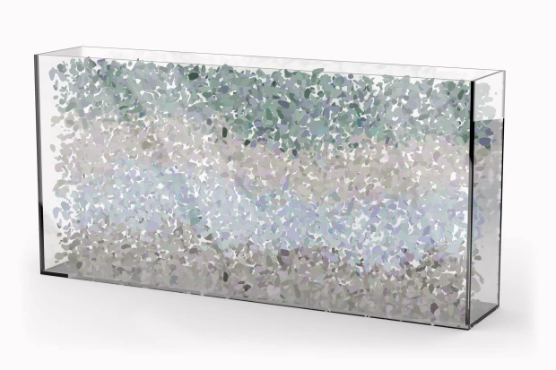
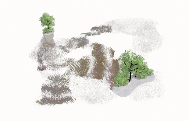
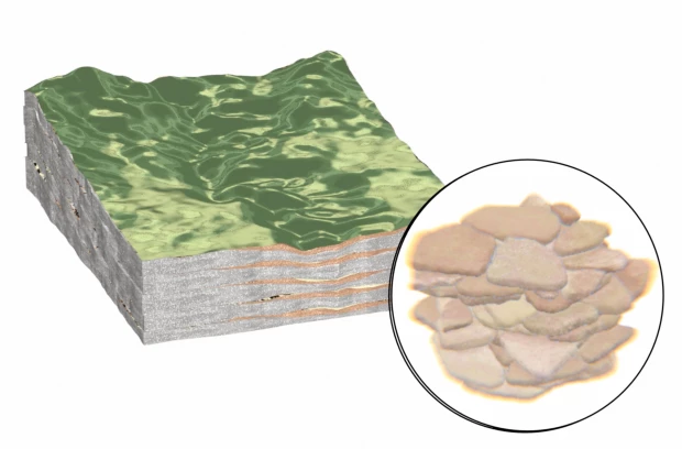
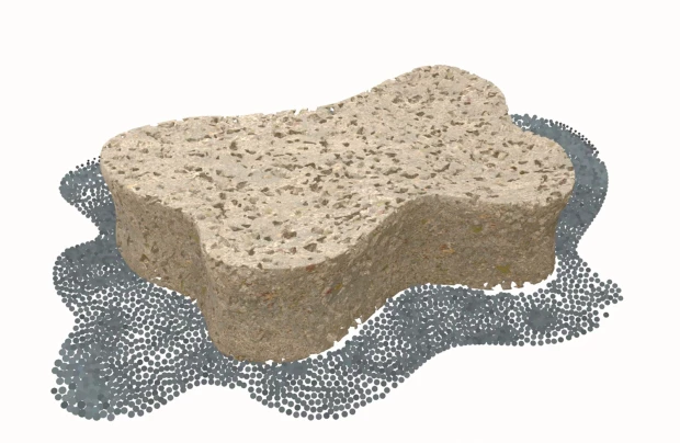
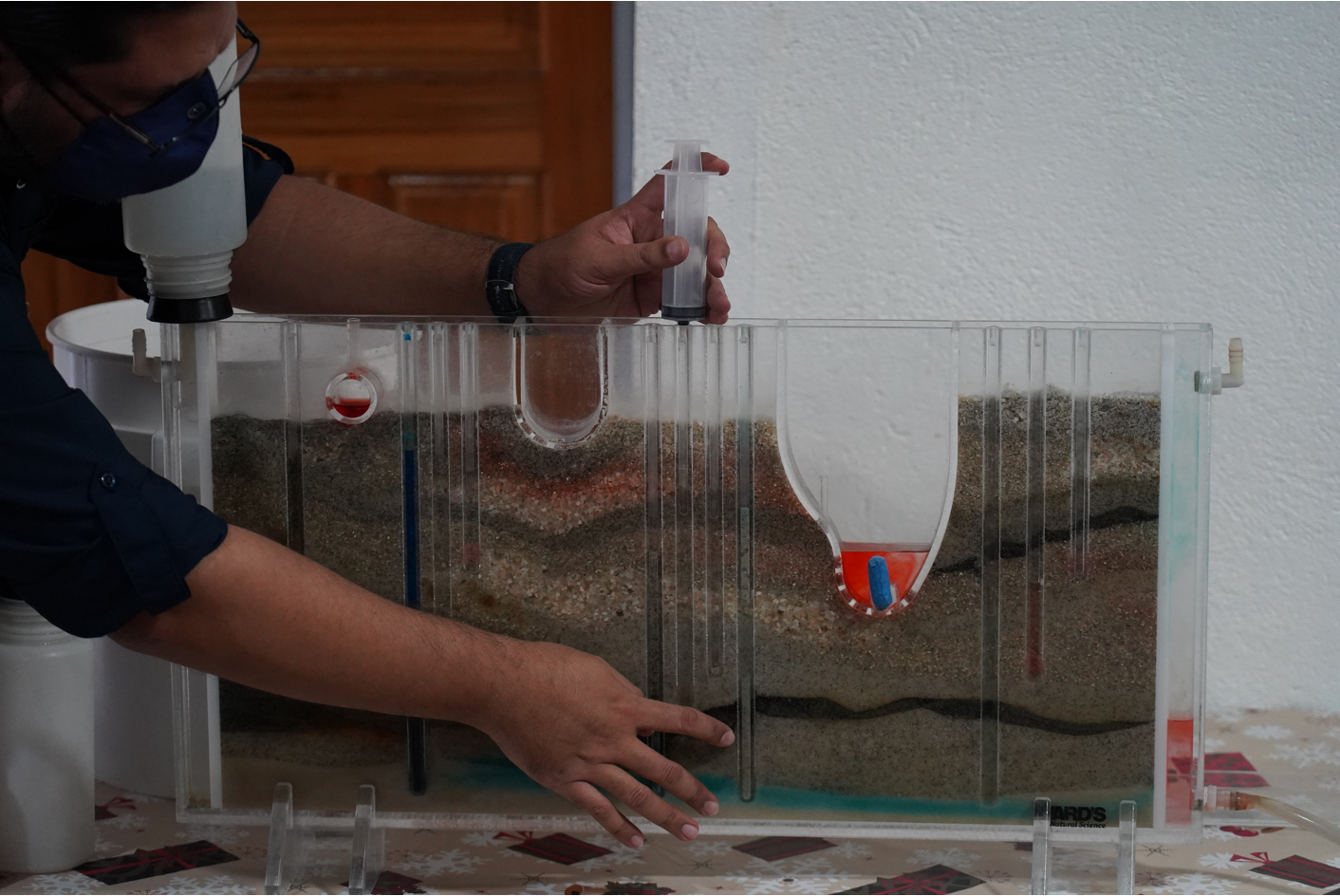
Rich’s description of the theoretical model of well contamination actually contained another model, to help him explain. That model is the jar full of marbles versus the jar full of sand. These are simpler models, physical models as opposed to digital ones, but highly effective in terms of their explanatory power. The two jars are even simpler versions of the Sand Tank Groundwater model or a “sandbox aquifer”, common in classrooms, as they are powerful pedagogical tools for explaining groundwater systems. These are physical, tactile models, where the sediments are layered in a transparent box, a cross sectional view. Importantly, the materials used are the actual materials: clay is clay, sand is sand, gravel is gravel etc. Maybe this is part of the reason why they are so accessible as models. There is a direct materiality that we can witness without the need for visual aids or translations of materials into different textures which results in an abstraction. The water is injected from different points, and we can watch it move in real time, spreading its way through the material layers.
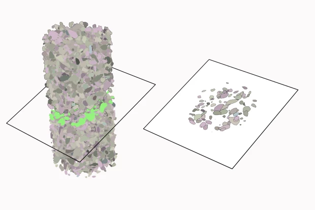
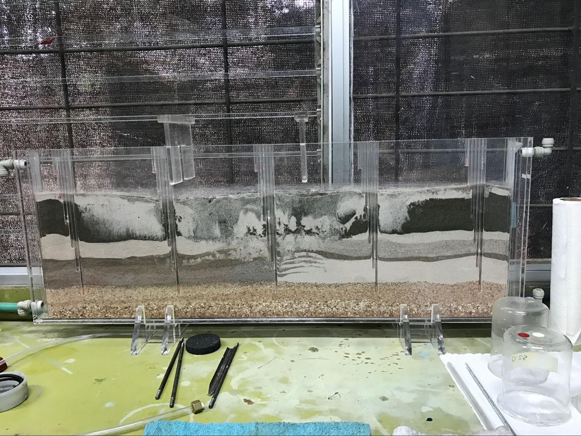
There is something exciting about seeing this kind of model physically manifest itself, a fascination to see these natural systems shrunk down and presented in a small box that we can touch and think with away from a computer screen. The image below shows one of these models in a laboratory in XX. The layers are mixed up, one bleeding into another, giving the effect of an imprinted plume of ink on a piece of paper.
So there are physical models, digital models, conceptual models, and then there are the models within models. Rafa explains this when talking about the hydrogeological model of Rio Blanco:
“La pregunta sería básicamente, los insumos que requiere, verdad, información de geología, pozos, información de suelos, elementos hidrogeológicos como, además de los pozos, manantiales, mediciones de caudal, información climática, y después poder empezar ya con todos esos insumos, empezar a analizar y construir modelos. Pasar del modelo geológico al modelo hidrogeológico y después del modelo hidrogeológico, al modelo de recarga, al modelo de vulnerabilidad, y también cuando hay fuentes de abastecimiento público como en Río Blanco, al modelo de zonas de protección también, para brindar ese manejo. Entonces, si hablamos de temas, esos son los más importantes.”
For Rafa, he explains that the base for a hydrogeological model is the geological model, this is the model you must know first in order to situate the rest. You must know the earth through which the water runs through.
“Primero que todo, para yo conocer el modelo hidrogeológico, primero tengo que partir de lo que es la base, y la base siempre va a ser el modelo geológico.”
Another geologist we spoke to said that geology and hydrology are relatively easy to understand when considered on their own, but when you bring them together, into hydrogeology, that’s where the complications arise.
Creating complex computational models that involve vast datasets collected over many years is not a process that is accessible for all, the most complex groundwater modelling we encountered is in California, Texas, and Australia, where resources for this type of research are plentiful.